/


PAYS BAS, BELGIQUE, LUXEMBOURG - NETHERLANDS, BELGIUM & LUXEMBOURG
by COLLECTIF (Author)★★★★★
★★★★★
4.4|10 ratings
12.95
Only 9 left in stock (more on the way).
FREE delivery Tuesday, July 1 on your first order Or fastest delivery Tomorrow, June 28. Order within 17 hrs 17 mins
12.95
FREE delivery Tuesday, July 1 on your first order Or fastest delivery Tomorrow, June 28. Order within 17 hrs 17 mins
Only 9 left in stock (more on the way).
Secure transaction
Ships from and sold by Amazon.CA
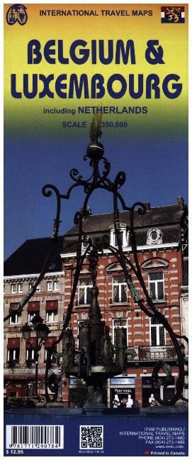
This is a double sided map with Netherlands & Belgium on 1 side. The Belgium portion occupies other shared with Luxembourg. The map has two covers, one side saying Belgium and Luxembourg, with a cover picture of a windmill. The map's artwork is completely new and different from the previous edition, and much more in keeping with ITMB's style for Europe. Motorways are in blue, main roads in green, and other roads in red casting. Road distances between points are noted, as well as motorway rest areas, and touristic sites such as windmills, noteworthy churches, and camping areas. Height elevations are minimal, but park areas have been shown. The border portion of France is also included, as well as appropriate border portions of Germany. The 'Low Countries' are very interested for visitors and include canals, historic cities such as Bruges, Leuven, and Liege and the battlefield region of Bastogne and 'The Bulge' this map is also including the West Frisian Islands and adjacent Germany and France with complete index of all cities and towns in the map. Read more
Product Information
| Publisher | ITMBMAPS |
| Publication date | Oct. 22 2015 |
| Language | English |
| ISBN-10 | 1771290781 |
| ISBN-13 | 978-1771290784 |
| Item weight | 52 g |
| Dimensions | 10.7 x 0.5 x 24.7 cm |
| Best Sellers Rank | #451,057 in Books (See Top 100 in Books) #42 in Belgium Travel Guides #137 in Netherlands Travel Guides #1,478 in Atlases & Maps (Books) |
| Customer Reviews | 4.4 4.4 out of 5 stars 10 ratings |